Mracking land use shifts in Padang City objectively through satellite imagery and spatial data.
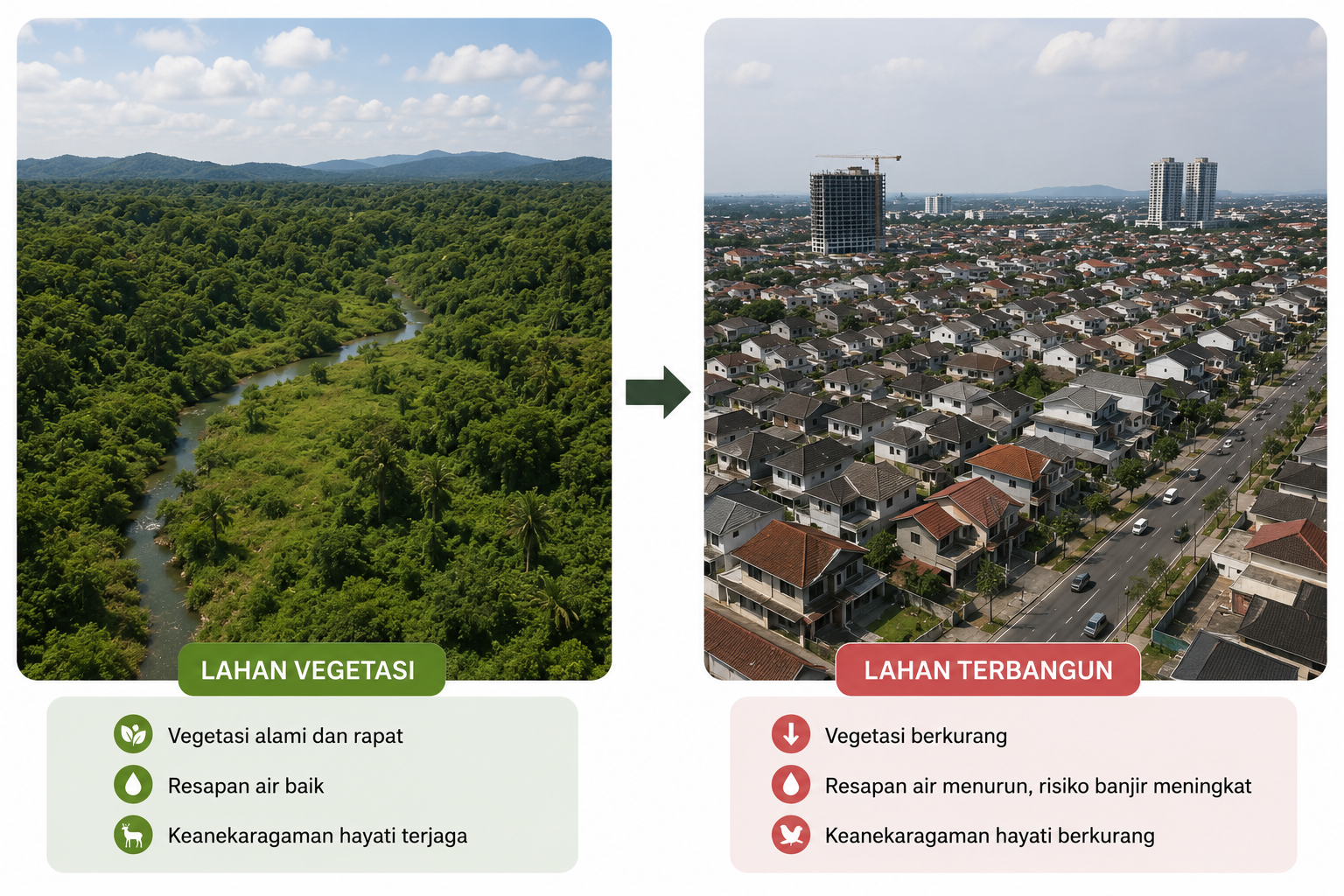
Our system categorizes land use in Padang City into three main pillars based on analysis of Sentinel-2 satellite imagery
MIt is the main source of livelihood for thousands of farmers in Padang and the surrounding areas.
Residential areas, city infrastructure, and public facilities. This data is expected to be used to evaluate the effectiveness of regional spatial planning.
Includes urban forests, green open spaces, and protected areas. Plays a vital role in natural disaster mitigation.